Reconstruct any environment at metric scale.
Fuse data from phones, drones, LiDAR, and other ground-, air-, and space-based sensors into scalable 3D models that are geometrically accurate and georeferenced, not just photorealistic.
From input to output
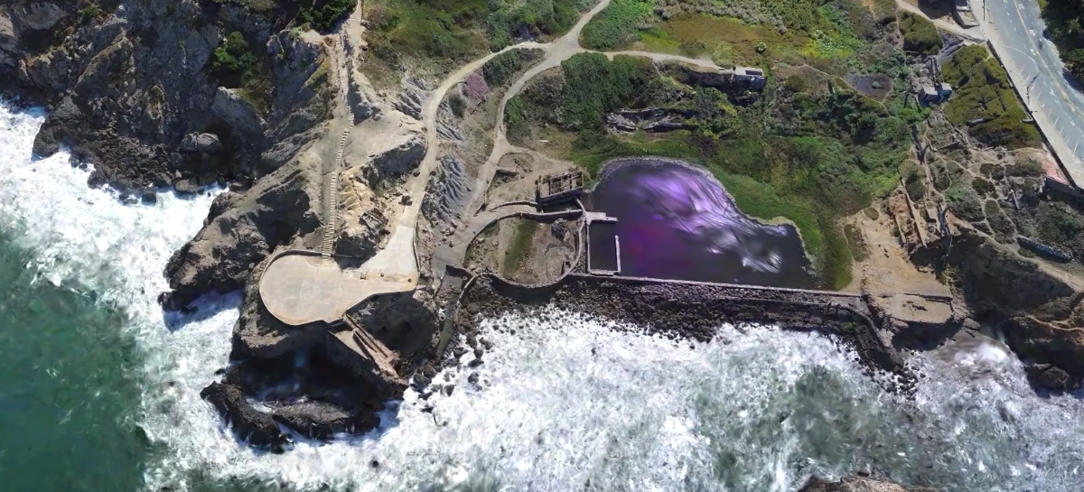
Explore a real world environment in 3D
A high-fidelity reconstruction of Lands End as an interactive canvas where digital content is anchored to real-world locations within the splat.

From multi-modal capture to one georeferenced 3D model
-
Scan alignmentProcess images, video, LiDAR, and other sensor data from phones, drones, robots, and satellites, aligning scans across sources and refining their poses in real-world coordinates.
-
Depth, semantics, and georeferencingInfer depth and semantic information, and anchor the reconstruction to real-world coordinates.
-
High-fidelity 3D, ready for your workflowCreate a unified, georeferenced digital twin with high-quality Gaussian splats and textured meshes, built for real-time rendering. Export in SPZ, PLY, FBX, GLB, or USDZ.
Reconstruct on device, in the cloud, or in your environment.
Industries we support
Start in Scaniverse
Scaniverse is the front door to our reconstruction pipeline. Bring in phone, 360°, drone or archived captures and get back georeferenced Gaussian splats and meshes.
Try ScaniverseTalk to us
Piloting a site or scaling across many? We’ll scope reconstruction around your sensors and data, in the cloud or on-premises, delivered as splats, meshes and VPS maps.
Scope a pilotFrequently Asked Questions
What is 3D reconstruction?
It turns images, video or other sensor data into a three-dimensional model of a real place. Our reconstructions are georeferenced and geometrically accurate, so they support mapping, localization, simulation and operations, not just visualization.
What data can it use?
Imagery and sensor data from Scaniverse and third-party sources, including drones, robots, handheld devices, smartphones, 360° cameras, satellite imagery and LiDAR, so teams can start with the data they already have.
What is the difference between on-device and cloud reconstruction?
On-device reconstruction creates single-scan splats and meshes in Scaniverse on iOS or Android, fast, private and offline. Cloud reconstruction adds multi-scan alignment, georeferencing and higher fidelity for large areas and multi-team projects.
What is the difference between a mesh and a Gaussian splat?
A mesh represents a scene as connected surfaces, which suits simulation and robotics. A Gaussian splat represents it as many small 3D Gaussians that render photorealistically, which suits exploration and review. We can output both, aligned to each other.