Any sensor. Any archive. One model of the place.
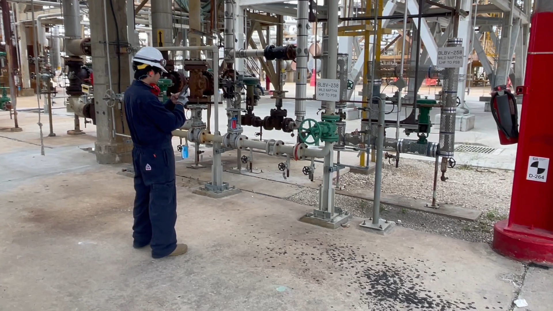
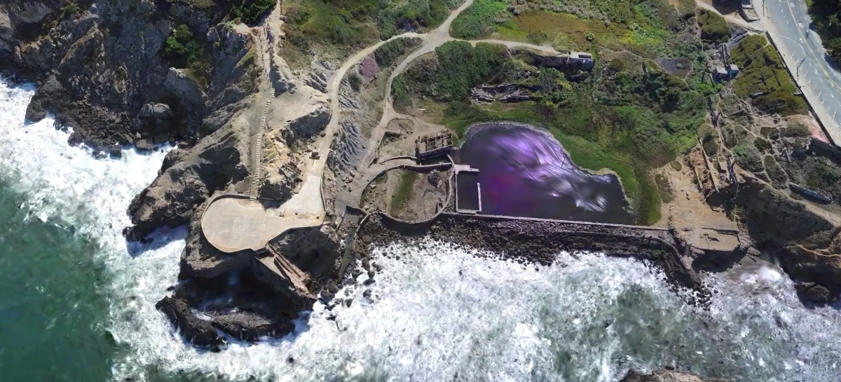
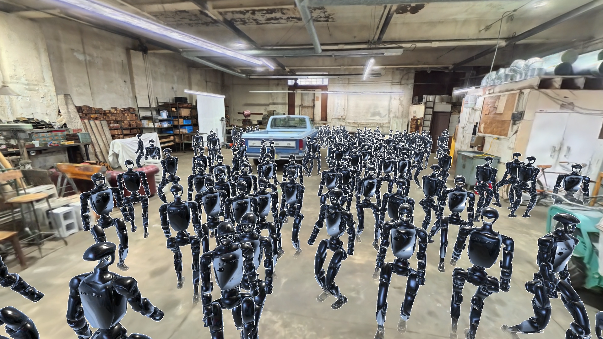
Capture brings high-quality spatial data in from everyday cameras and field platforms: phones, 360° cameras, drones, LiDAR and robots.
Scaniverse, on-demand capture and your own archives all feed the same pipeline, so the data you already have becomes the foundation for spatial intelligence.
Three ways in
-
ScaniverseCapture and manage spatial data on web, iOS and Android, with team workspaces and export to open formats.
-
On-demand captureTrained operators plan, capture and process large or complex sites, and deliver a finished, georeferenced model.
-
Bring your own dataConnect drone imagery, LiDAR scans, telemetry and archives. Capture is source-agnostic.
Built for enterprise
Industries we support
Frequently Asked Questions
How do Scaniverse, on-demand capture and bring-your-own-data differ?
Scaniverse is the web and mobile workflow for teams that capture and manage data themselves. On-demand capture is a full-service option for large or complex sites. Bring your own data connects imagery, scans and telemetry you already have.
Which devices and data sources are supported?
iOS and Android devices, 360° cameras and drones, plus drone imagery, LiDAR scans, satellite imagery and other sensor datasets.
How accurate are captures?
It depends on the capture method, sensors, coverage and processing. On-demand capture uses multi-sensor hardware for georeferenced, survey-grade results on enterprise sites; mobile capture is high-fidelity but varies with conditions.
What can one capture produce?
Gaussian splats (SPZ, PLY) and meshes (GLB, USDZ), localization maps, and georeferenced inputs for understanding and simulation.