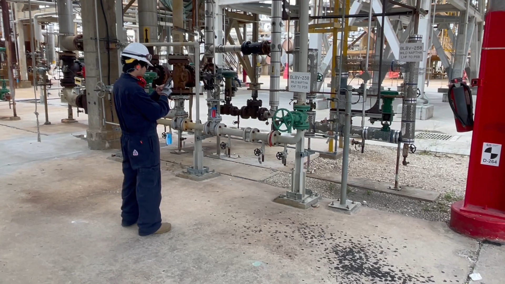
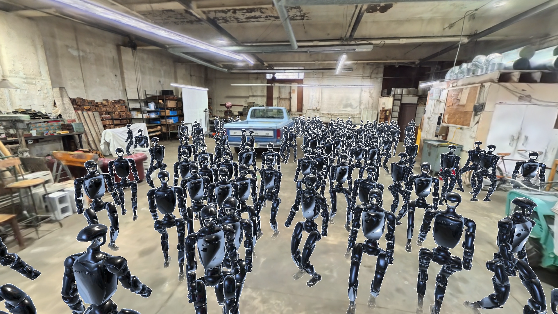
Precise visual-based positioning anywhere in the world.
Our Visual Positioning System (VPS) turns standard cameras into precise 3DOF or 6DOF positioning sensors, combining global vision-based positioning with customers’ mapped data for seamless indoor and outdoor operation by people and machines.
Deliver assured localization across contested, robotic, and mobile applications, on hardware already in the field and even when GPS is denied.
Watch a robot localize
A simulation of our Visual Positioning System: a moving robot matches what its camera sees against a 3D model to stay precisely located.

Adaptive VPS for GPS-denied and disconnected environments
-
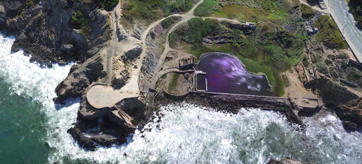
Ground-to-air localizationLocalize ground devices against drone-captured maps, covering large areas without mapping every route on foot. VPS can localize ground actors against aerial imagery to within 0.5m and 0.5° of ground truth, even in GPS-denied DDIL environments.
-
Satellite fallbackWhen no local map exists, orient against satellite imagery through our partnership with Vantor.
-
Private mapsEnhance global vision-based positioning with your own site maps and keep localization current as environments change.
Fits in your stack and keeps you in control.
Industries we support
Frequently Asked Questions
How is visual positioning different from GPS?
GPS estimates location from satellite signals. Our Visual Positioning System uses what the camera sees, plus device sensors, to estimate position and orientation. It can fuse with GPS, which helps when GPS is noisy, obstructed or unavailable.
What is the difference between 3DoF and 6DoF?
3DoF gives two-dimensional position and heading. 6DoF adds full orientation (pitch, roll and yaw), which lets applications lock content and actions precisely to real-world surfaces. We support both.
Do I need to scan a place first?
Not always. Broad 3DoF coverage works without pre-scanning, ground devices can localize against drone-captured maps, and satellite imagery can fill gaps. Mapped places support higher-precision 6DoF.
Can it work in private or sensitive sites?
Yes. Organizations can create access-restricted private maps, keep ownership of their data and control who can localize there, including in disconnected environments.