Precise visual-based positioning anywhere in the world.
Our Visual Positioning System (VPS) turns standard cameras into precise 3DOF or 6DOF positioning sensors, combining global vision-based positioning with customers’ mapped data for seamless indoor and outdoor operation by people and machines.
Deliver assured localization across contested, robotic, and mobile applications, on hardware already in the field and even when GPS is denied.
Watch a robot localize
A simulation of our Visual Positioning System: a moving robot matches what its camera sees against a 3D model to stay precisely located.

Adaptive VPS for GPS-denied and disconnected environments
-
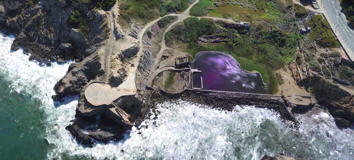
Ground-to-air localizationLocalize ground devices against drone-captured maps, covering large areas without mapping every route on foot. VPS can localize ground actors against aerial imagery to within 0.5m and 0.5° of ground truth, even in GPS-denied DDIL environments.
-
Satellite fallbackWhen no local map exists, orient against satellite imagery through our partnership with Vantor.
-
Private mapsEnhance global vision-based positioning with your own site maps and keep localization current as environments change.
Fits in your stack and keeps you in control.
Industries we support
Related
Frequently Asked Questions
What is VPS, and how does it work?
Niantic Spatial’s Visual Positioning System (VPS) uses camera imagery to determine position and orientation. By matching what a camera sees against spatial data, VPS gives robots, vehicles, and field teams a shared reference for where they are and where they’re looking.
Can VPS work without GPS or network connectivity?
VPS can localize using visual data when GPS is degraded or denied. Cloud localization requires connectivity; network-denied operation requires an appropriate on-device or edge configuration, with deployment requirements defined for your application.
Do I need to map a site before using VPS?
Not every area requires a site-specific scan. VPS can use broader map and imagery sources for position and heading estimates, while detailed site maps enable precise 6DOF localization. Customers can add their own mapped data, and ground devices can localize against drone-captured maps.
How accurate is VPS?
Accuracy depends on the localization method, map quality, and operating conditions. In ground-to-air testing, VPS localized ground actors within 0.5 meters and 0.5 degrees of ground truth in GPS-denied environments. These results describe tested conditions, not a universal accuracy guarantee.
Does VPS require dedicated positioning hardware or a new navigation stack?
VPS uses standard cameras rather than dedicated positioning hardware or installed beacons. Available through the Niantic Spatial Development Kit (NSDK), it feeds position and orientation estimates into the navigation system your vehicle or device already uses.